
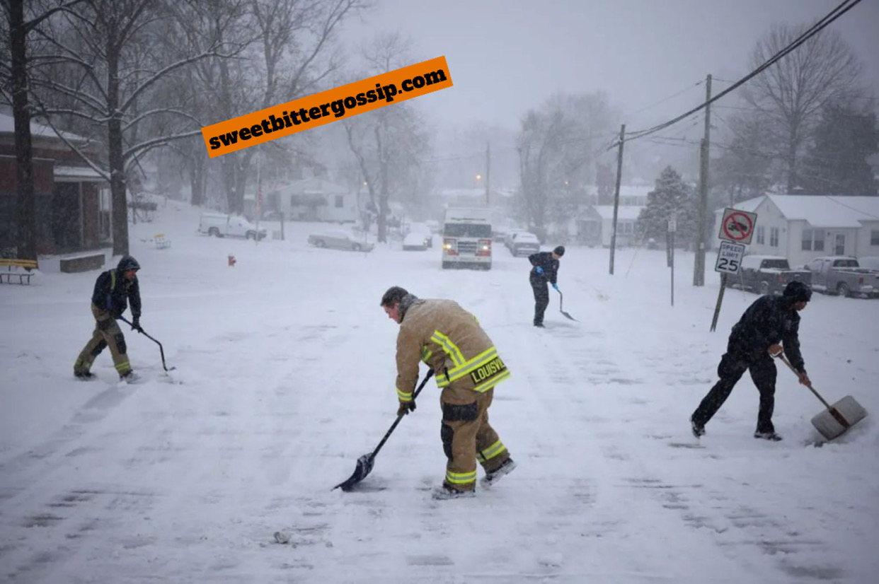
A powerful winter storm is sweeping across North America, placing over 60 million Americans under winter weather alerts. Forecasts predict some of the coldest temperatures and heaviest snowfall in over a decade, impacting regions from Kansas to the East Coast and much of Canada. The National Weather Service (NWS) warns of snowfall ranging from 6-12 inches (15-30 cm) in areas such as Ohio and Washington, DC.
States of emergency have been declared in Kentucky, Virginia, West Virginia, Kansas, Arkansas, and Missouri. Even Florida, typically known for its mild winters, is bracing for freezing conditions. The extreme weather is attributed to the polar vortex, a mass of cold air circulating near the Arctic, which has plunged southward.
After covering the Central Plains, the storm is expected to hit the East Coast by Sunday evening. In upstate New York, parts of the region have already seen 3 feet of snow. Washington, DC, is preparing for 5-9 inches, prompting the mayor to declare a snow emergency through Sunday evening.
The storm’s timing could affect political events. Congress is scheduled to meet Monday to certify Donald Trump’s presidential election victory, but the severe weather might delay lawmakers traveling back to the capital. The Annapolis area near Baltimore, Maryland, could see up to 12 inches of snow, the NWS reports.
Blizzard warnings are in place for Kansas, Missouri, and Nebraska. Parts of northern Missouri have already experienced 14 inches of snow and sleet, while Kansas has received 10 inches. According to the NWS, some areas may experience their heaviest snowfall in a decade.
Dan DePodwin, an AccuWeather forecaster, predicts this could be the coldest January since 2011. Temperatures are expected to linger 12-25°F (7-14°C) below normal for at least a week.
The storm has caused widespread travel disruptions. Nearly 1,500 flights have been canceled, and another 5,000 delayed. Amtrak has also suspended numerous train services. Airlines including American, Delta, Southwest, and United have waived change fees for passengers affected by the storm.
Canada is also feeling the storm’s impact, with extreme weather alerts spanning much of the country. Some regions are experiencing snow squalls—sudden bursts of heavy snow accompanied by strong winds. Manitoba’s wind chill could plummet to -40°C, while parts of Ontario might see 15 inches of snow by Sunday.
Road conditions have rapidly deteriorated in many areas. Crashes involving cars, trucks, and even emergency vehicles have been reported, including a fire engine rollover near Salina, Kansas. The NWS warns that whiteout conditions could make travel extremely dangerous, with roads becoming impassable and motorists at risk of being stranded.
Meanwhile, severe thunderstorms capable of producing tornadoes are expected to move east from Arkansas and Louisiana into Mississippi and Alabama on Sunday evening.
Meteorologist Ryan Maue described the situation as “a mess, a potential disaster,” noting that such extreme conditions haven’t been seen in years. As the storm continues its path, authorities are urging residents to exercise caution and prepare for further disruptions.